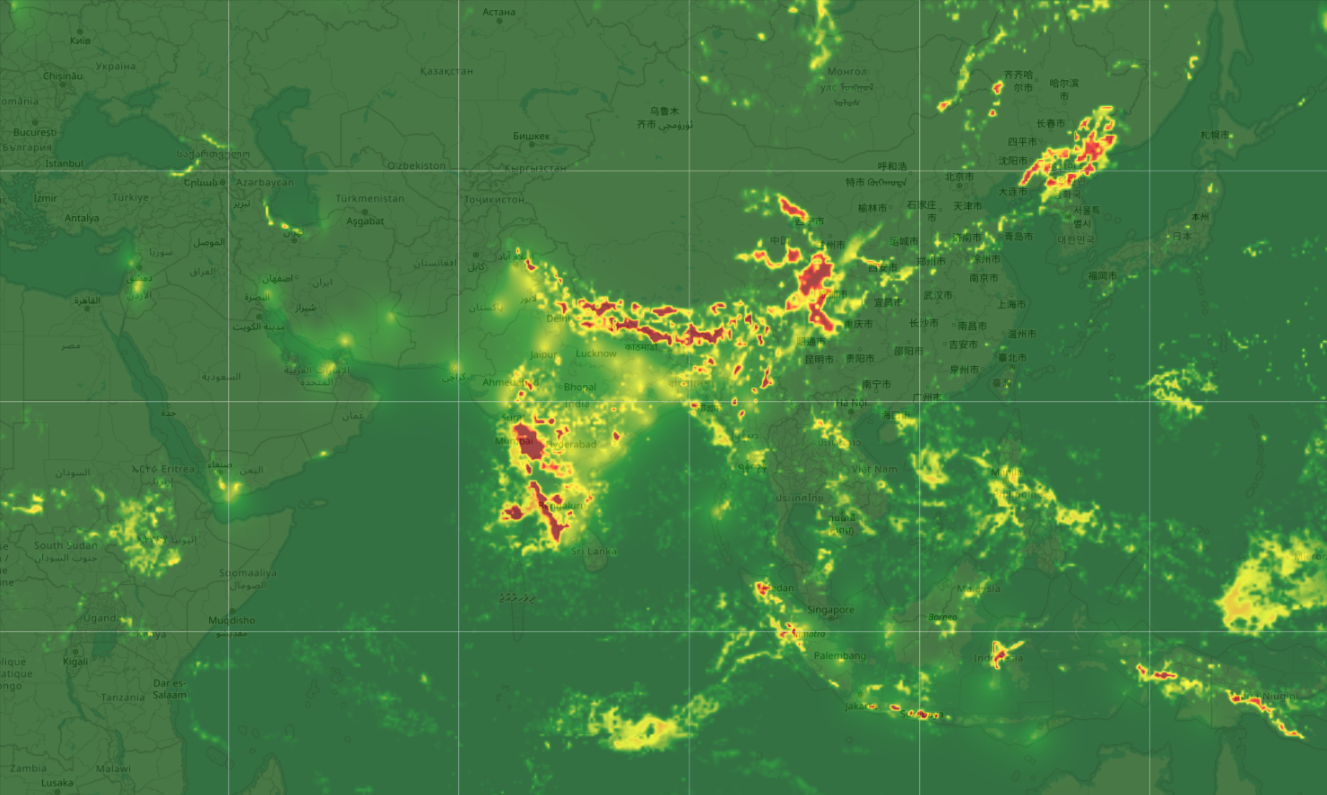
Meandair expands high-resolution Nowcasting regions: Asia available at 1 x 1 km resolution
Effective immediately, Meandair extends its high-resolution Nowcasting regions to Asia.
This announcement follows shortly after Meandair's expansion of high-resolution Nowcasting to the African continent last month.
For all Meandair's weather data layers, high-resolution coverage of up to 1 x 1 km is now delivered to Meandair's existing and new customers, every 15 minutes. This includes coverage of oceans and remote regions, which are not covered by traditional weather radar.
- Global refresh rate: 15 minutes
- Spatial resolution: up to 1 x 1 km
- Temporal resolution: 10 minutes
- Vertical resolution: 10 Flight levels (300 meters), up to Flight level 600 (18,000+ meter
- Nowcasting core: 5 hours ahead
- Forecast blend: 24 hours ahead (soon to be 48 hours)
- Including oceans and remote regions
Meandair Co-Founder and Managing Director Peter Novák:
"We are excited to announce our expansion to Asia with highly accurate, high-resolution nowcasting. Our product roadmap is driven by our customers' requirements, and we are proud to focus our development on the areas our users need most. Next month we will launch the continent of Oceania in high-resolution."
Meandair announces it's high-resolution coverages to expand with Oceania next month, aiming at full global coverage in high-resolution towards the end of 2025.
The upgrade also applies to Meandair's aviation service AirportWeather.com, now serving high-resolution weather reports and forecasts (AW-METAR and AW-TAF) to all airports, traditionally not covered by weather stations.

